
> OnlyTrails
Discover, plan, and navigate hiking trails with offline maps and live guidance.
[ screenshots ]
[ about ]
OnlyTrails is a mobile application designed to assist hikers in discovering, planning, and navigating trails, even without cellular coverage. Key features include:
-
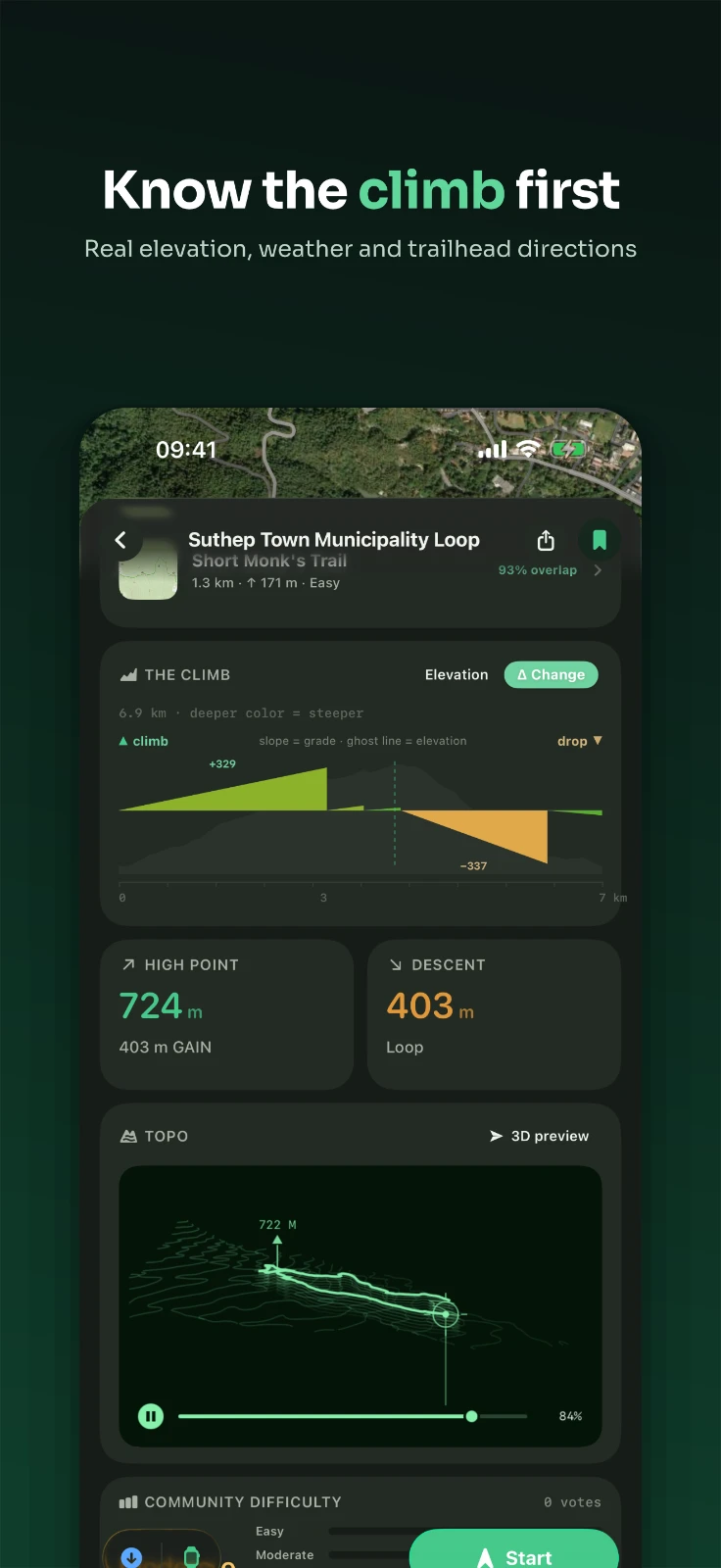
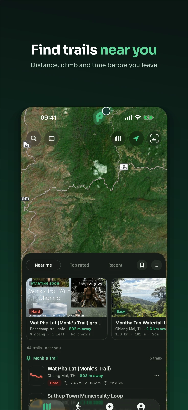
Trail Discovery: Browse trails near you, sorted by distance, difficulty, or length. View real route thumbnails, elevation gain, and estimated time at a glance. Read a color-coded steepness profile to understand climbs.
-
Route Planning: Draw your own route on the map, tap by tap. Snap to real trails and paths, double-back, or close the loop automatically. Fork any existing trail and edit it into your own plan. Share a route with friends via a link.
-
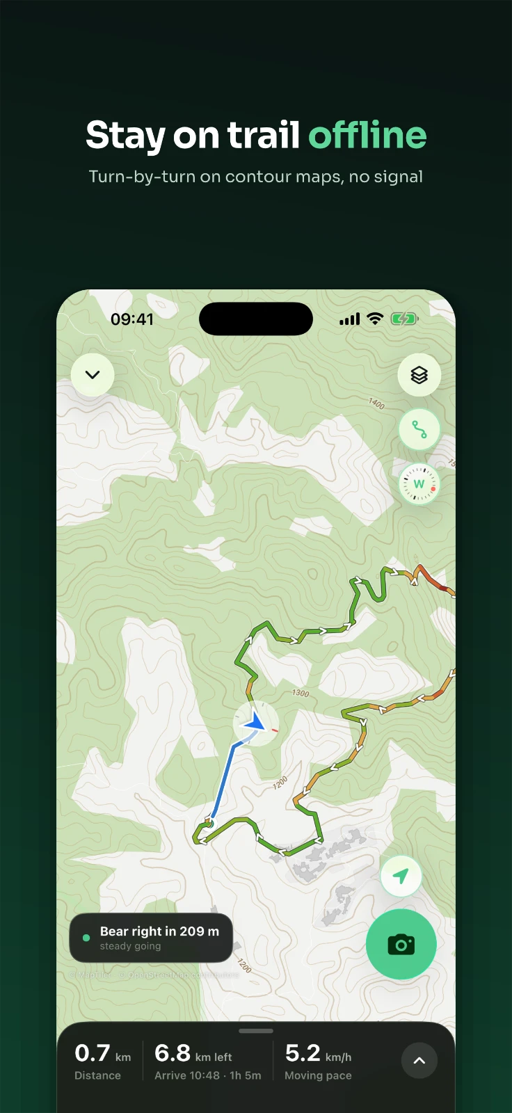
Navigation: Turn-by-turn trail guidance with an off-route alert. Offline vector maps—download a region and navigate with no signal. Battery-aware navigation that adapts to keep you on the map longer. Compass with heading-up or north-up, plus a live elevation profile. Free Walk mode to record an unplanned hike.
-
Community: Drop and confirm trail markings—forks, hazards, water, and more. See conditions and notes left by other hikers. Trailhead weather so you can time your hike.
OnlyTrails works on the trail, not just at the trailhead. Download your map, plan your route, and go.